
The landscape of the peninsula is characterized by mountain ranges. They run from the north-west to the south-east as a continuation of the Pacific Coast Ranges, which extend from Alaska southwards. They originated as faults; the slopes are gentler in the west than in the east. There are nearly two dozen named mountain ranges. Most important are the Sierra de Juárez with the Cerro Torre Blanco (5,882 ft, [1,794 m]) in the North and, just south of it, the Sierra San Pedro Mártir with the Picacho del Diablo. It is 10,147 ft high (3,095 m) and the highest mountain of Baja. Its summit is covered with snow from October to May.
The mountains become a plateau farther southwards. The Bahía Concepción borders on the Sierra de La Giganta (with the Cerro La Gigante, 5,770 ft [1,760 m]) and the Sierra de La Laguna. The highest summit of the latter is the Picacho de La Laguna (7,066 ft [2,155 m]).
The predominant rock is granite. Forming the very surface at some places, it provides for impressive, spectacular landscapes such as that of Cataviña, where it was weathered to blocks. Traces of volcanic activity with partly recent lava flows are found in the center of the peninsula, mainly in the San Ignacio region with the volcano of Tres Vírgenes.
Washed by the sea, the Baja California peninsula features a coastline of more than 3,000 miles (4,800 km). In the west, the Pacific Ocean formed some shallow bays and spits of land, for instance the Laguna Ojo de Liebre near Guerrero Negro, the Laguna San Ignacio west of San Ignacio and the Bahía Magdalena west of Ciudad Constitución. The steeper east coast is indented by the picturesque Bahía de Los Angeles, the Bahía Concepción and the Bahía de La Paz.
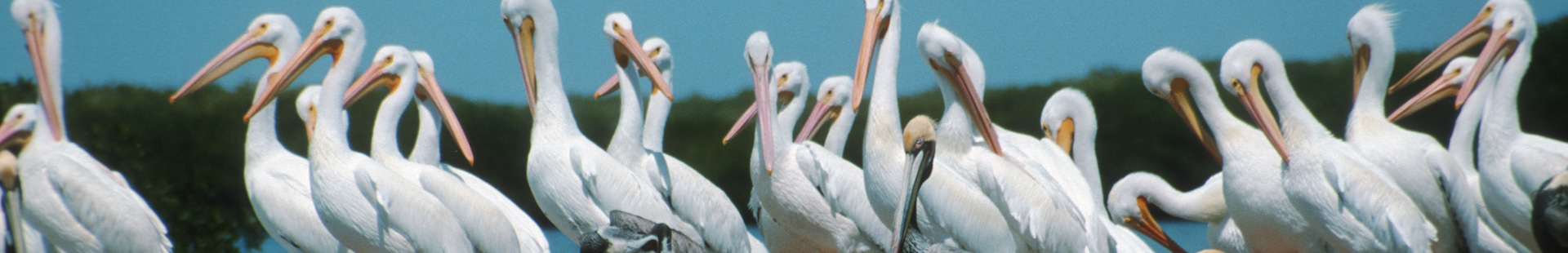
The Gulf of California, also called Mar de Cortés, separates Baja California from the Mexican mainland and offers as a special feature more than 50 islands and isles; most of them are nature preserves today, because they are important breeding-places of sea birds.
Baja California is situated over the San Andreas fault, the restless rift in the Earth‘s crust that is responsible for recurrent earthquakes, destruction and transformation. Tensions caused the peninsula to be separated from the mainland about 25 million years ago, resulting in the opening of the Gulf of California. The peninsula has since drifted about 340 miles (550 km) from the mainland to the northwest and will be an island together with the US state of California in a faraway future.
The climate of Baja makes it a place in the sun. The chances for sunny days in winter are reported to be as high as 95%, so as to eclipse even Hawaii or Florida. The reason: the peninsula is situated between the winter storms from the northwest, on the one hand, and the tropical thunderstorms from the south, which rage in summer, on the other hand. Only the extreme north and south are therefore affected by rain, while the central part remains dry except for some heavy showers in summer. Some regions receive less than 50 mm of rain a year (New York or Washington, by comparison, receive about 1,000 mm a year).
As to the temperatures at the coasts, the Pacific side is always cooler than the east coast, because the California Current brings cold northern water with temperatures of 55°F to 66 °F (13-19 °C) according to season. This prevents heating of the country. In Ensenada, for instance, the thermometer seldom rises above 75 °F (25 °C) even in summer.
It is different on the east and south coasts: Temperatures are regularly higher than 85°F to 95 °F (30-35 °C) and reach pleasant levels also in winter.
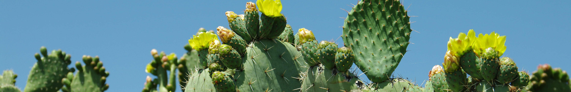
And the interior? Rain is scarce here; the sun scorches the earth relentlessly in summer and raises the temperature regularly to more than 105 °F (40 °C); in the winter nights, on the other hand, temperatures may fall below freezing. The inland has thus a typical desert climate, which allows only particularly tough plants, animals and people to survive.
