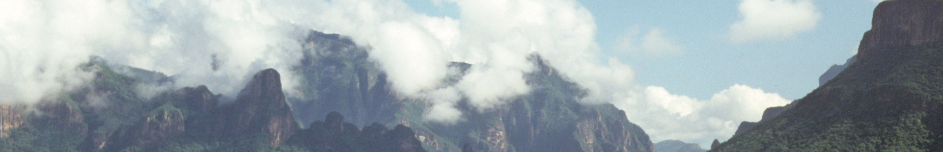
Sierra Madre – Mother Mountain – is what the Mexicans call this 1,300 km long mountain chain, which forms the entire northern sector of the country.
The Western arm (Sierra Madre Occidental) ends with the City of Guadalajara, the Eastern arm (Sierra Madre Oriental) with Mexico City. Together, the two mountain ranges cradle the central highlands as a mother her child; poetry with real meaning – the natural treasures and agricultural products of the Sierra Madre have nurtured the region for centuries. With altitudes up to 3,600 m, the Sierra Madre is an imposing mountain range. Whereas the Sierra Madre Oriental is, for the most part, of limestone, ridden with collapsed caves , the Sierra Madre Occidental was formed by volcanoes which occurred 20 to 70 million years ago, as part of the collision of the North American and Pacific slabs, which also led to the creation of the Rocky Mountains. As part of the volcanic explosions, huge, up to one kilometre thick layers of debris were formed, which later became rock. One is andesit, named for the Andes Mountains, which is a cross between granite and basalt. This rock forms the lower stratum of the Sierra Madre. Rhyolit, a fine-grained equivalent to granite, lies above. As the volcanoes exploded, particles of every shape and size were thrown up – the resulting rock being assembled in fully chaotic order. Greater conglomerates are capable of withstanding erosion longer, and build the steep walls of the canyons and the plunging edges of waterfalls, like Basaseachi (246 m), or Piedra Volada, with a free fall of 453 m.
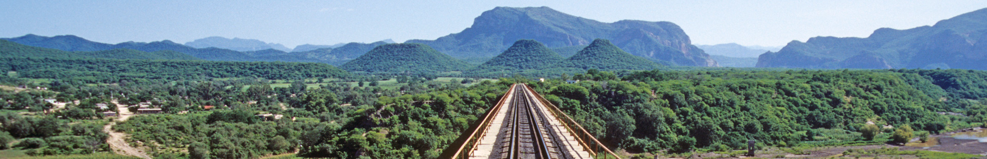
The Sierra Tarahumara is a separate mountain chain at the north of the Sierra Madre Occídental. With an area of 60,000 km², it forms the greatest canyon system in the world: the Copper Canyons. Just how craggy the Sierra Tarahumara is can be demonstrated with its altitude profile: the highest point is 3,306 m (Cero del Mohinora), the lowest is 220 m, where the Septentrión and Chinipas Rivers flow together.
Up till now, the descriptions of Carl Lumholtz, the first Norwegian to explore parts of the Mexican canyon lands in 1890, and reports from more recent expeditions have been the only sources of information about this region. One thing is certain, the extent of the canyons is breathtaking.
The Río Urique flows through the Barranca Urique: the canyon is said to be 1,879 m deep. The river is passable at high water in suitable boats. It flows further south into the Río Fuerte. To the north of Urique, the Barranca Urique becomes the 1,760 m deep Barranca del Cobre (Copper Canyon) – the patron canyon of the entire region. The name stems from the old copper mines.
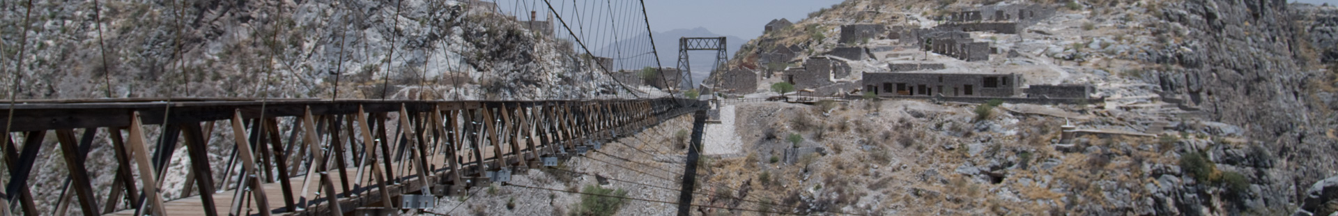
The Barranca de Sinforosa was formed over the years by the Río Verde. With its reported depth of 1,830 m – and very narrow, indeed! – the canyon is quite in its original state and rarely visited. Difficult to reach, it was first fully explored by an expedition team in 1986. Very different is the 1,800 m deep Barranca de Batopilas: often visited, once one needed to calculate five days along an almost impassable path. Today, an unpaved road leads to the “Silver City” of Batopilas along the floor of the canyon.
But as well the other Canyons of the Sierra Tarahumara are worthwhile seeing: Candameña (1,750 m), Mayo (1,680 m), Huapoca (1,620 m), Chinipas (1,600 m), Septentrión (1,600 m) and Oteros (1,520 m).
In the land of the Mexican canyons, visitors should not expect to see Colosseums of stone in desert colours. The canyons of the Sierra Tarahumara are rather a green oasis, especially after the “rainy season” between June and September, when heavy storms dump over 400 mm/m² of water. The vegetation of the region is many faceted, and presents different vegetation zones according to altitude.
Fir and pine forests cover the highest plateaus. From 3,000 m downwards those are mixed with American poplars.
At 2,500 - 2,000 m lie the pine and oak forests. Chihuahua, Apache and yellow pine dominate this landscape.
At 2,000 - 1,500 m grow nut-pines (pinon) and junipers.
Below 1,500 m begins the Desert Thorn Forest, where mostly vegetation adapted to a dry climate, like mesquite, acacia and agave grows.
The warmest climate is at the base of the canyon, and plentiful water ensures lush vegetation. The natural vegetation, however, has been crowded out by fruit crops in the settlement areas, especially by the orange, mango and banana orchards.
The animal population is also quite varied. 30 species of mammals, 200 species of birds, nearly 90 reptile and 20 amphibian species are at home in the Sierra Tarahumara. Endangered and almost extinct are the black bears, beavers and pumas. Occasionally, one can see a cliff donkey, mule or white-tailed deer. Nights, the wail of coyotes still belongs to the mysterious music of the Sierra.
Turkey vultures are the most common variety of bird. In the pine forests of the high areas one can observe diamond jays or one of the many types of woodpecker on the steep walls of the canyons, and almost always swifts and cliff swallows in flight. With luck, the ravens, golden eagles, red-tailed buzzards or peregrine falcons will also circle through the blue skies. The warm canyons, rich in vegetation, provide a home for hummingbirds, coloured starlings, the bright red cardinals and great parakeets.
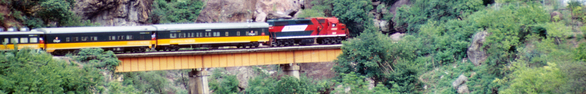
Sierra Madre, Sierra Tarahumara, The Copper Canyons: only slowly do they reveal their secrets. Discover this world during your journey with the CHEPE.
